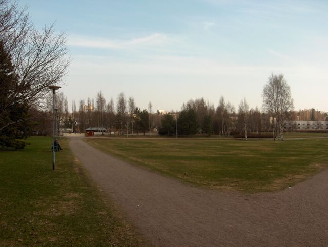
Kasvukausi ei ehtinyt edetä niin paljon edelliseen kuvaan verrattuna yhdessä päivässä, että se olisi tässä selvästi havaittavissa. Päivälämpötila oli kuitenkin ko. päivänä jo +19,1 astetta ja Etelä-Suomen sisämaassa vain n. 10 - 20km pohjoisempana +20 astetta ylitettiin reilusti. Sää oli siis äitymässä jopa poikkeuksellisen kesäiseksi ajankohtaan nähden. Edellisenä yönä tämän paikan lämpötila laski +2,3 asteeseen vähäisten pilvien takia, joten etenkin sisämaa-alueilla oli vielä hallaa. Seuraava yö oli kuitenkin jo selvästi lämpimäpi. Yhä enemmän lämpenevän sään aiheutti aikaisemminkin mainittu korkeapaine, joka laajeni nyt Suomen ja Pohjois-Venäjän ylle aiheuttaen laajalla alueella Venäjällä ja Euroopassa lämpöaallon ison matalapaineen auttaessa tilannetta pohjoisella Atlantilla; lämpimiä etelä- ja kaakkoistuulia Euroopan alueella. Yllä on kaksi samana ko. päivänä kuvattua tilannetta. Tässä alemmassa kuvassa aurinko oli iltapäivän kumpupilven takana. Ko. pilviä esiintyi vähän mantereen päällä, mutta kuvassa näkyvä taivas meren yllä oli selkeä untuvapilviä lukuun ottamatta; merituuli. Säätilanne: valitse 4.5.2006; Wetter3 A. Wetter3 B.
The growing season hadn't had time to progress so much in one day as compared to the previous photo, that it would have been clearly noticeable here. However the afternoon temperature of this day was allready +19,1 C and in the inland areas of southern Finland only about 10 to 20 kilometres north from here +20 C was topped clearly. So the weather was starting to be unusually summery for the time of the year. At last night the temperature in this place dropped to +2,3 C due to a small amount of clouds and therefore especially in inland areas there was ground frost. The next night however was allready clearly warmer. The further more warming weather trend was resulted by the high pressure mentioned also earlier, which was now widening over Finland and northern Russia causing a wave of warm air in large areas in Russia and Europe as a big low pressure in northern Atlantic was helping the situation; warm south and southeasterly winds around Europe. Above there are two situations in the pictures photographed during this same day. In this lower picture the sun was behind a afternoon cumulus cloud. These clouds were appearing a little over the continent, but the sky in the picture over the sea was clear not counted for the cirrus clouds; the sea breeze. Weather condition: choose 4.5.2006; Wetter3 A. Wetter3 B.
Helsingin Puistolan säätilasto toukokuussa 2006 - Weather chart of Puistola, Helsinki in May 2006.
Flickr 1 Flickr 2
Tehoisa lämpösumma - The Effective Temperature Sum: 47,9

posted by Mika at
3:55 PM
![]()


0 Comments:
Post a Comment
<< Home