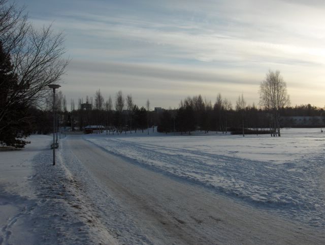
Melko leuto sää jatkui tässäkin kuvassa. Nyt Etelä-Suomen säähän vaikutti länsiluoteinen Föhntuuli. Lumisadetta oli tullut erittäin vähän edelliseen kuvaan verrattuna, mutta kahden matalapaineen välisen säärintaman untuva- ja harsopilviä oli taivaalla. Kuvassa niiden nähdään juovittuneen ko. säärintaman myötäisesti. Lämpötila oli ylimmillään jopa +0,3 astetta, vaikka taivas oli melko selkeä. Siten tyypillinen Föhntilanne vallitsi; kuivaa, mutta leutoa. Lumi ei kuitenkaan ollut muuttunut suojalumeksi kuivasta ilmasta ja kylmästä maasta johtuen; routaa oli paikoin jo yli 30cm. Säätilanne: valitse 28.1.2006; Wetter3 A. Wetter3 B.
A rather mild weather continued also in this picture. Now southern Finland was affected by the west-northwesterly Föhn wind. It had been snowed very little as compared to the previous photo, but the cirrus and cirrostratus clouds of the weather front between two low pressures were in the sky. In the picture we see them lined up according to that weather front. The temperature was even +0,3 C at highest, allthough the sky was rather clear. Therefore it was a typical Föhn condition; dry, but mild. However the snow hadn't been turned into thaw stage due to the drieness of the air and the coldness of the ground; there were soil frost allready locally more than 30cm. Weather condition: choose 28.1.2006; Wetter3 A. Wetter3 B.
Helsingin Puistolan säätilasto tammikuussa 2006 - Weather chart of Puistola, Helsinki in January 2006.
Flickr 1 Flickr 2

posted by Mika at
11:02 AM
![]()


0 Comments:
Post a Comment
<< Home