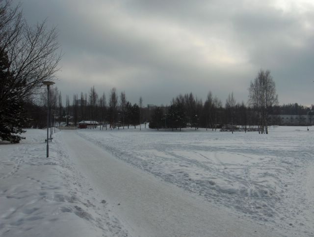
Etelän ja kaakon välinen tuuli oli yltynyt edellisestä päivästä huomattavasti. Kuvassa nähdään tuulen tuomia sumupilviä ja ilmakin oli vähän utuinen, sillä ilmavirtaus toi kosteutta aina Mustaltamereltä asti. Ilmamassa oli kuitenkin varsin kylmää ja lämpötila vaihtelikin päivän aikana -5,6 ja -10,6 asteen välillä. Tuulen ja kosteuden vaikutuksesta ilma tuntui hyvin purevan kylmältä. Lännessä oli tässä vaiheessa laaja matalapaine, mutta kaakon korkeapaine kierrätti edelleen arktista pakkasilmaa etelätuulen sekaan. Tämä aiheutti hyytävän kylmyyden. Säätilanne: valitse 16.2.2006; Wetter3 A. Wetter3 B.
A south-southeasterly wind had been increased prominently from the day before. In the picture we see stratus clouds and the air was also a little hazy, because the air flow brought moisture all the way from the Black Sea. However the air mass was rather cold and so the temperature changed between -5,6 C and -10,6 C during the day. Due to the wind and the moisture the air felt very spikingly cold. At this stage a wide low pressure was in the west, but a high pressure in the southeast circulated further arctic frosty air among the southerly wind. That caused the chilly condition. Weather condition: choose 16.2.2006; Wetter3 A. Wetter3 B.
Helsingin Puistolan säätilasto helmikuussa 2006 - Weather chart of Puistola, Helsinki in February 2006.
Flickr 1 Flickr 2

posted by Mika at
11:02 AM
![]()


0 Comments:
Post a Comment
<< Home